GIS Specialist with a track record of building public-facing tools, streamlining spatial workflows, and supporting decision-making across government, utility, and environmental sectors.
About Me
I build GIS tools that help governments make better decisions and explain those decisions to the public. At the City of Newport News, I developed a citywide digital twin and reshaped parking policy through spatial analysis, a first for Hampton Roads. Before that, nearly a decade at New York State Parks grounded me in what accessible, well-structured spatial data actually looks like in practice, and why it matters.
Developed a citywide digital twin for Newport News, VA, integrating flood risk, planning initiatives, and proposed development scenarios into a unified, public-facing platform. The model enhances civic transparency and interdepartmental coordination and now serves as the foundational data environment for the city’s ArcGIS Urban implementation.
Newport News VA
Digital Twin
Southeast Community
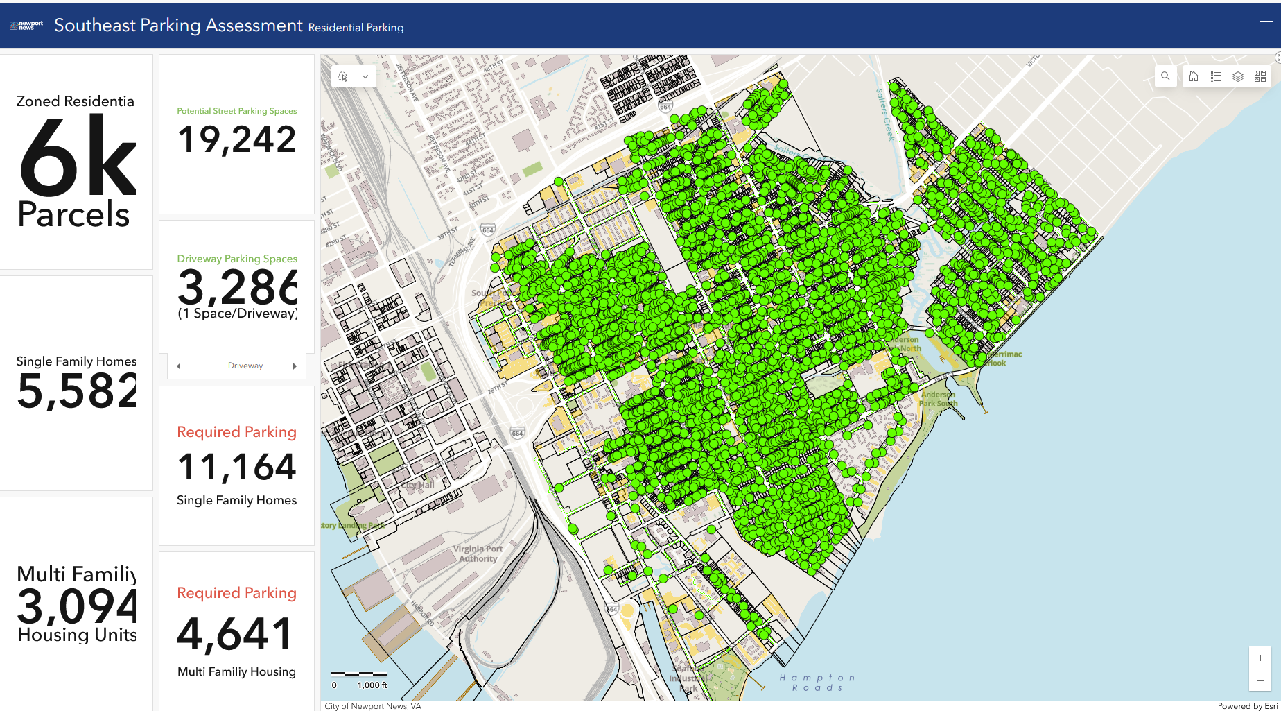
Parking Assessment
Dashboard
Using road centerline and impervious surface layers, I calculated the theoretical maximum parking capacity for the Southeast Community of Newport News. These findings supported the Department of Planning’s successful advocacy to eliminate parking minimums citywide a first for Hampton Roads.
Dashboard is internal-use only
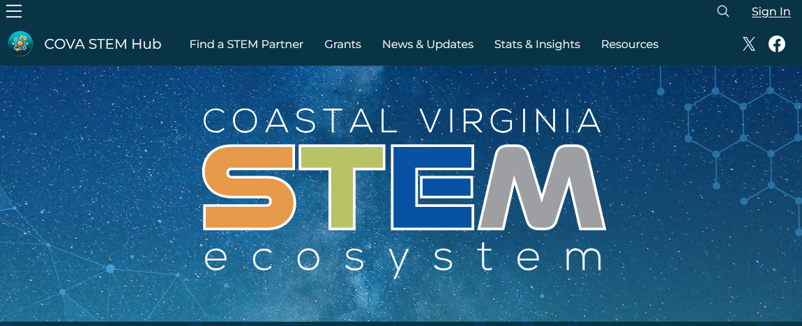
Partnered with the Newport News City Manager’s Office to develop the ArcGIS Hub Site for the Coastal Virginia STEM initiative. The site serves as a regional gateway for STEM resources, connecting educators, families, and industry partners across Hampton Roads and the Eastern Shore.
COVA STEM Hub
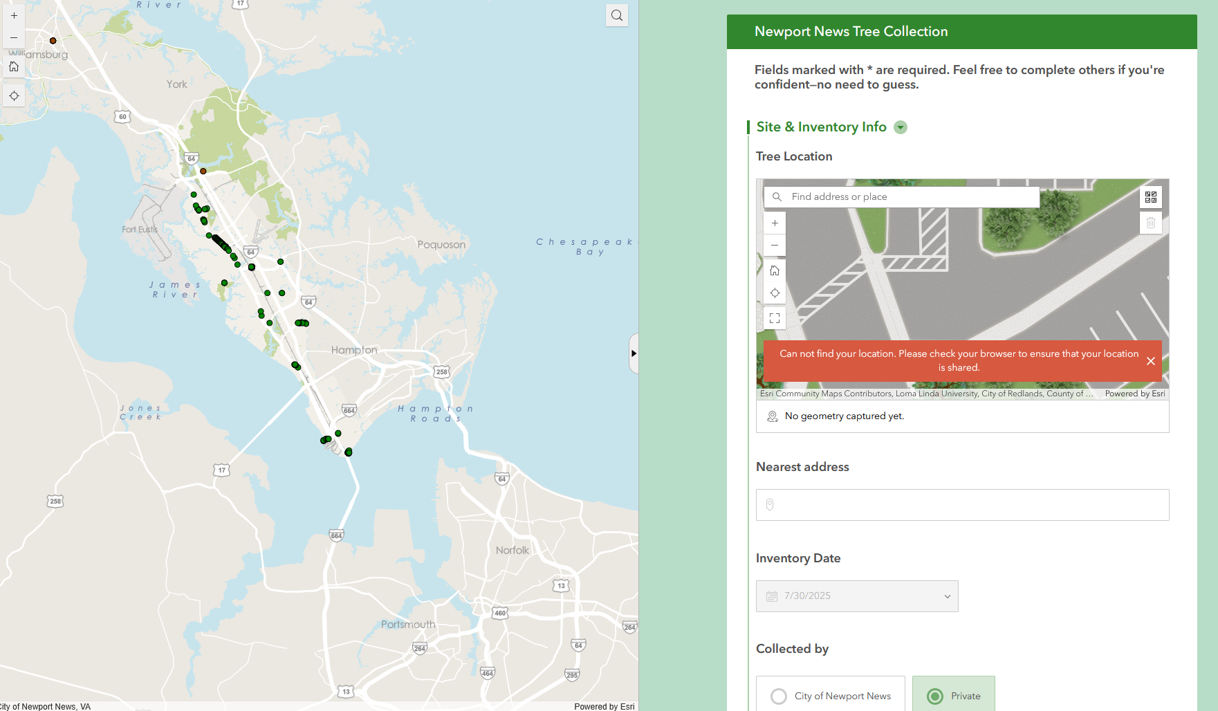
Developed a crowd-sourced Tree Collection website using Survey123 Connect and ArcGIS Online Experience Builder, in collaboration with Newport News Parks, Planning, and the IT-GIS Department. The platform enables residents to submit urban forestry data directly into the city’s GIS database via the Newport News Tree Inventory.
In partnership with the Virginia Department of Forestry, led hands-on workshops to train volunteers in tree identification and data collection, expanding community capacity for stewardship and supporting long-term urban forest planning.
Newport News
Tree Inventory

Designed the standardized trail map template for all published New York State Parks maps, aligning with the agency’s new unified logo and branding. Led staff and volunteer training, conducted QA/QC, and served as data steward for statewide geographic datasets.
Selkirk Shores
State Park
Trail Map
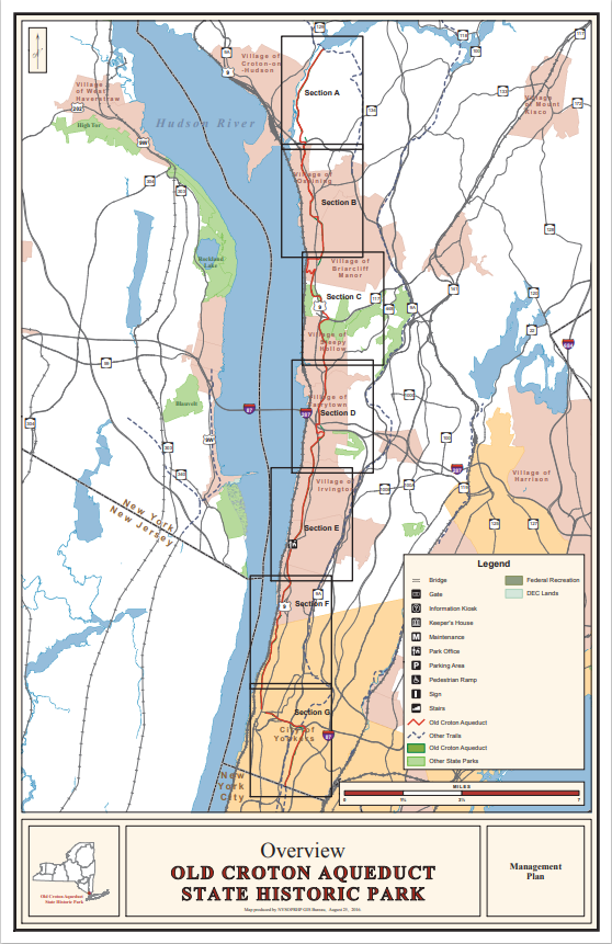
Coordinated with multiple New York State Parks Planning Teams to document existing site conditions and develop visual materials for public information meetings. These assets supported stakeholder engagement and informed plan development across park master planning efforts.
Old Croton Aqueduct
Management Plan
Tools & Skills
ArcGIS Pro · ArcGIS Online · ArcGIS Urban · Survey123 · Experience Builder · ModelBuilder · ESRI Arcade · ArcPy · Python · SQL · LiDAR Processing · 3D Modeling · Digital Twin Modeling · GPS/GNSS Field Collection · Cartographic Design · Enterprise GIS · Metadata & QA/QC